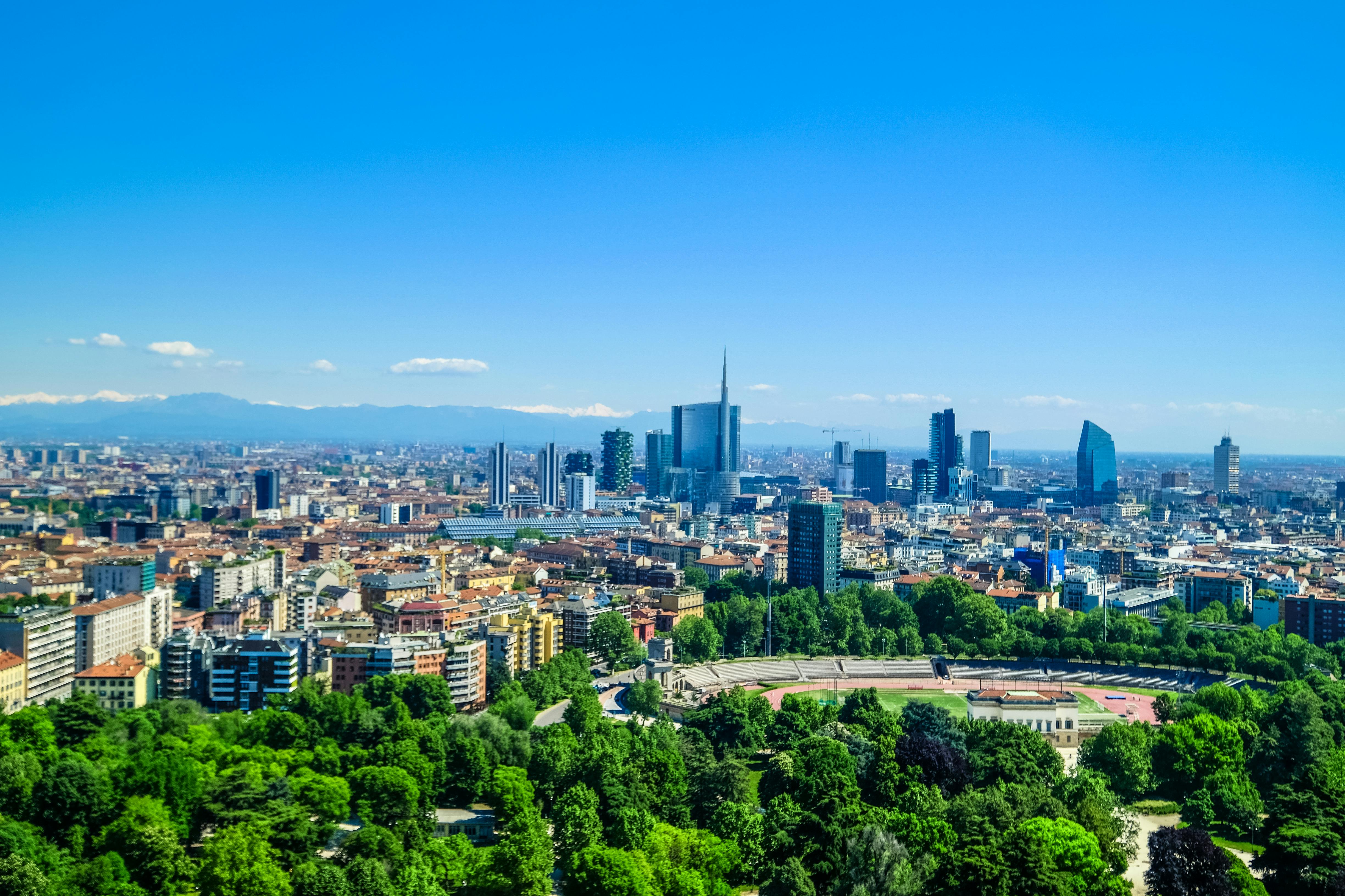

The course will systematically teach the application theory and method of remote sensing technology of urban environment, which includes urban green space(multidimensional information extraction of vegetation—-green space measurement—-multi-scale perception – comprehensive evaluation of remote sensing), urban heat(urban heat island effect and industrial production infrared remote sensing monitoring), urban grey (fine classification and change detection of urban ground objects, impervious surface, road network, fine extraction of urban built-up areas), urban humidity(urban water extraction and water quality monitoring), urban brightness(nighttime light remote sensing, housing vacancy, poverty monitoring), urban livability, etc., and demonstrate with typical application cases. In addition, the course will systematically introduce the current development status and trends of earth observation systems in China and abroad, as well as the latest technical progress and business needs of multi-field remote sensing (agriculture, forestry, water conservancy, land using, city construction, environment, disaster mitigation, meteorology, ocean, earthquake, etc.) And focusing on the GF-6 satellite to introduce the latest advanced technology and development trends of thematic classification and change detection for specific ground targets. The course will provide two field visits (China Center for Resources Satellite Data and Application or PIESAT International Information Technology Limited and China Meteorological Administration or China Remote Sensing Satellite Ground Station or others).
The course is offered at the International College at the University of Chinese Academy of Sciences. It is a professional course consisting of 60 credit hours and worth 3 credits.
Applicable majors: include Cartography and Geographic Information Systems, Photogrammetry and Remote Sensing, Geography, Ecology, and Environmental Science, among others.
Course highlights: The course combines a large number of application cases and satellite payload characteristics. The content of the course will emphasize the complete chain of remote sensing science, technology, and applications, with a focus on theory, techniques, and practical applications. It aims to enhance knowledge, practicality, interest, and inspiration, providing guidance for research topics and technical solutions for graduate students. Field visits will be organized to strengthen participants’ intuitive understanding and knowledge of practical workflows.
Teaching objectives: The course aims to let participants to learn basic knowledge and technical methods of remote sensing, comprehensively understand the current development status of domestic and international Earth observation systems and remote sensing applications in various fields, and stay updated with the latest remote sensing technologies and techniques. Students will also learn about the application of remote sensing science and technology in various aspects of urban construction and study related application methods. The acquired expertise in urban remote sensing will enable students to solve real-world problems in their future studies.

Visit to the China Meteorological Administration